
Berks County Maps
- 1894 hand-drawn map of Amityville
- Mill and waterway locations c. 1864
- Philadelphia city maps (various years)
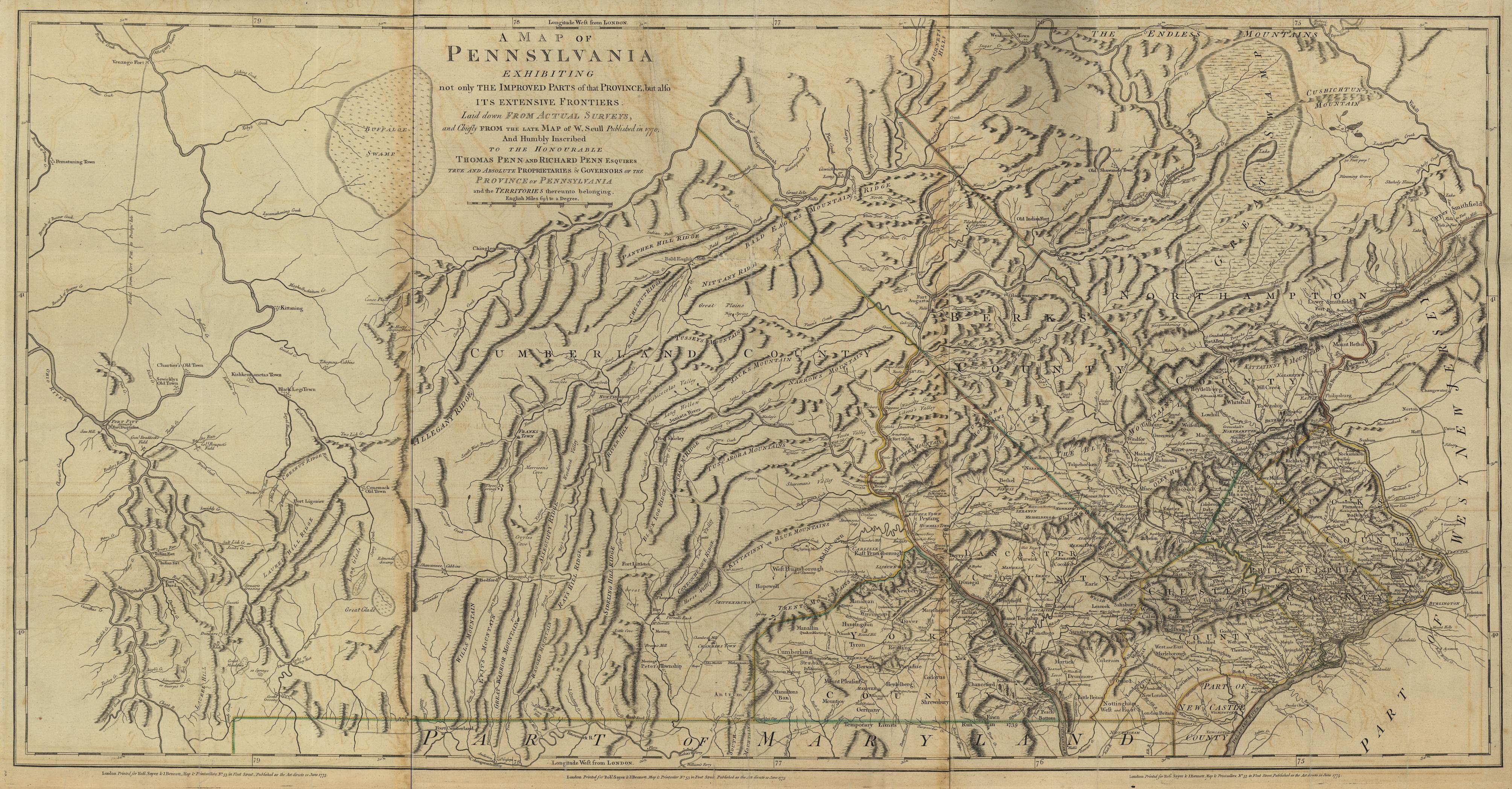
- 1770 map of Pennsylvania
- Four views of a 1776 map of Berks Co. View 1, View 2, View 3, View 4 (submitted by John); Note: This map was compiled in 1976, not 1776
- Map of Tulpehocken Pioneer Homesteads
- County formation maps
- Township warrantee maps for 1860
- Map of Albany township in 1753; includes names of lot owners
- Map showing the townships of Berks County
- Historic Maps of Pennsylvania
- 1860 Berks County Township Maps
If you have a map that you would like to contribute to the Berks County PAGenWeb Project, please send your submission to Jane.
Last Modified