![]()
Also Known As:
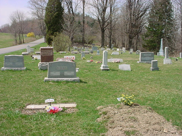
The cemetery is also known as Yohe. It is located adjacent to the old Odd Fellows Cemetery.
Transcription(s):
Photograph(s)
GPS Coordinates
Latitude: 41.036215
Longitude: -78.882179Driving Directions
Directions from Punxsutawney take US Route 119 north to Stump Creek, turn left onto Rock Dump Road. Turn left onto Big Run/Prescottville Road and take the next right which is teh Rock Dump Road (Rt 982). Continue to the end of the road and turn right on Desire Road. At Desire, turn left on Desire Road and the cemetery will be on the right.
Return to the Cemetery Page
![]()
Return to the Jefferson County Genealogy Project